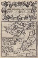
| Mx0268 | British Islands | Owen / Bowen, 1720; The Smaller Islands in the British Ocean. This map depicts the Isle Of Wight, Isle of Scilly, Gernsey, Jersey, Alderney, Holy Island, Farne Island and the Isle of Man. On the reverse is a strip map of the road from Cross Houses to Shrewsbury and Shrewsbury to Welshpool. Copper engraving. | h 180mm x w 117mm | £35 |  |