Jonathan Riddell Antiquarian Maps and Prints
Maps of Rutland
| Ref | Subject | Description | Size | Price | Image |
| Mx0416 | Rutland | Archer, J. c1845. Rutlandshire. Steel engraving. Horizontal centre fold as issued. | h 180mm x w 235mm | £10 | 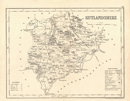 |
| MX0436 | Rutland | A Map of Rutland Shire by Badeslade and Toms, 1742. Copper engraving with central fold as issued. Condition - short tear to bottom of central fold. | h 143mm x w 147mm | £20 | 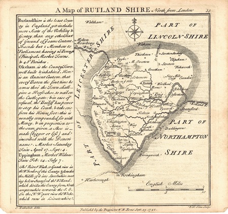 |
| MX0429 | Rutland | Rutland Shire by Grosse, c1795. Copper engraving. Text continues on reverse. | h215mm x w 150mm | £15 | 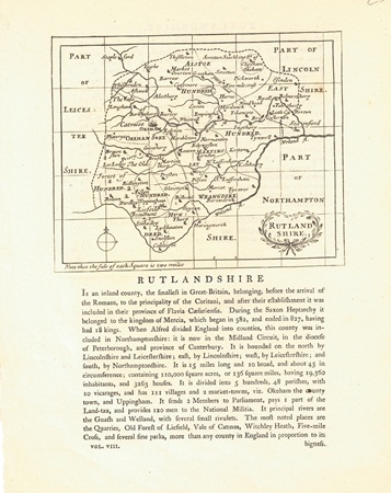 |