| Ref |
Subject |
Description |
Size |
Price |
Image |
| Mx0364 | Monmouthshire | Ramble, Reuben,1845,MonmouthshireHerefordshire. Issued in Travels through the counties of England. Vignettes with orignal hand coloring. Scarce
| h 180mm x w 148mm | £65 | 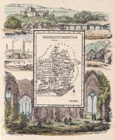 |
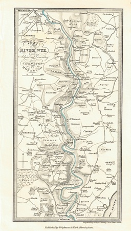
| MX0481 | Monmouthshire | Map of the River Wye and adjacent Country from Chepstow to Monmouth, c1820. Engraved by James Wyld and published by Wrightson & Webb. Steel engraving. | h 203mm x w 104mm | £30 |  |
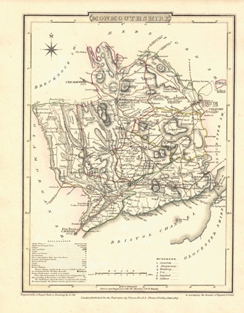
| MX0457 | Monmouthshire | Monmouthshire, 1807. Drawn by G Cole and engraved by J Roper. Published by Vernor, Hood & Sharpe in "The British Atlas" which accompanied the "Beauties of England & Wales". Copper engraving with hand colouring. | h 233mm x w 175mm | £35 | 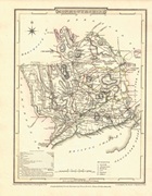 |