Jonathan Riddell Antiquarian Maps and Prints
Maps of India
| Ref | Subject | Description | Size | Price | Image |
| P5502 | India | Madras and Fort St George. Taken by the French under the Command of M. Mahe de la Bourdonnais, the 21st Sept 1746. Engraved by John Cary and published 1801. Copper engraving. | h 175mm x w 234mm | £18 | 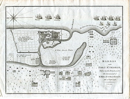 |
| M0164 | India | Hindostan or India from the best authorities, c1795. | h 188mm x 212mm | £20 |  |
| M0163 | India | Hindoostan or India, c1799. Engraved for Walkers Geography. With oultine hand colouring. | h 190mm x w 212mm | £20 |  |