| Ref |
Subject |
Description |
Size |
Price |
Image |
| Mx0228 | Australia | Tallis, John; c1851, Victoria or Port Phillip. Original outline colour, central fold | h 260mm x w 345mm | £200 | 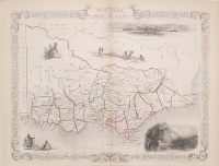 |
| M0229 | Australia | Tallis, John; c1851, Part of South Australia. Original outline colour, central fold | h 350mm x w 250mm | £150 | 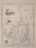 |
| M0220 | Australia | Tallis, John; c1851, New South Wales. Original outline colour, central fold | h 340mm x w 260mm | £150 | 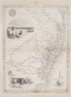 |
| M0219 | Australia | Tallis, John; c1851, Australia. Original outline colour, central fold | h 245mm x w 325mm | £220 | 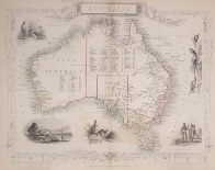 |
| M0216 | Australia | Tallis, John; c1851, Van Diemen's Island or Tasmania. Original outline colour, central fold | h 354mm x w 250mm | £120 | 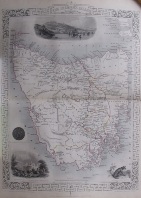 |
| M0071 | Australia | Justus Perthes and J Gross; 1831, Das Innerne von Neu Sud Wales nach John Oxley 1822, from Steilers Hand Atlas | h 290mm x w 368mm | £60 | 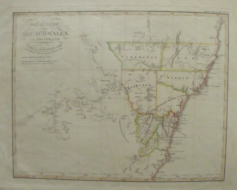 |
| M0070 | Australia | W Hughes; 1844, Part of Australia comprising the portions of New South Wales and South Australia. Published by A&C Black | h 270mm x 380mm | £60 | 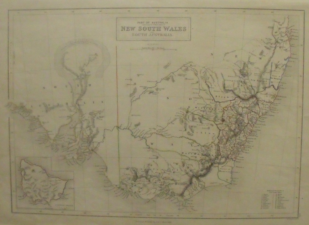 |
| M0069 | Australia | Justus Perthes; Carte von den Sudostlichen Theile Australia's.. Neu Sud Wales (New South Wales), 1834, from Steilers Hand Atlas, original outline colour | h 313mm x w 400mm | £80 | 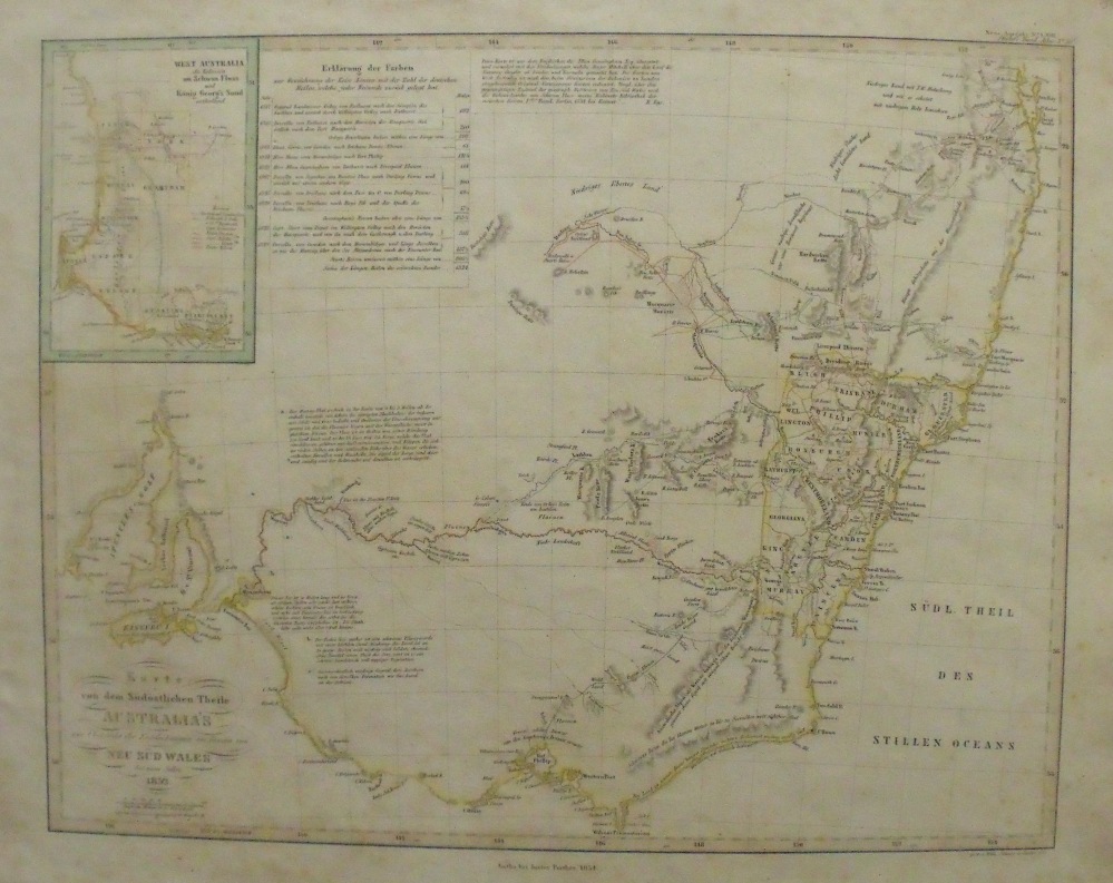 |
| M0066 | Australia | Australia, Published by Cassell, Petter and Galpins c1859-1861, with original outline colour | h 290mm x w 410mm | £50 | 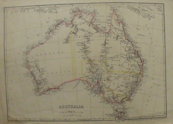 |


